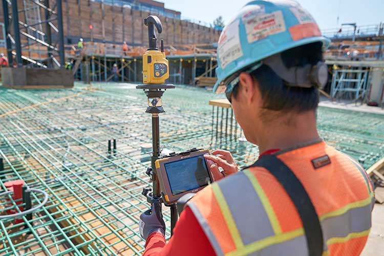
Topcon Positioning Group has released Topcon Point Manager, a point creation software that’s available as a plug-in for Autodesk AutoCAD and Autodesk Revit users in the U.S. and Canada.
According to Topcon, the solution is designed to automate point creation and easily import and export layout files to and from a robotic total station. It’ll also simplify the BIM-to-field process with a faster, more seamless point creation experience from within the design platform, reducing the time and cost of layout, Topcon added.
“Unlike standalone point creation software, which requires the user to leave their particular design environment, users of these two widely used Autodesk technologies will be able to access the solution as a plug-in component to their design package,” said Ray Kerwin, director of Topcon global product planning. “Users will benefit from the ability to automatically create multiple points on BIM objects and 2D/3D drawings from within the Autodesk environments. Just as importantly, however, they will see an increase in their quality assurance and control efforts through easily generated point and deviation reports; a likely reduction in on-site personnel (key during these challenging times), and, with the simplified processes, avoid costly construction errors and rework — the goal of most any operation working in today’s highly competitive construction environment.”
In addition, Topcon MAGNET users can wirelessly send points to the field for layout and completed layout files can be sent back to the office to update the model to match as-built conditions.
“With the cloud-connected MAGNET workflow, BIM personnel or CAD teams can immediately share information to and from the field crew using a layout device. Doing so can prove invaluable, as any conflicts in point data can be quickly identified, keeping production levels up and eliminating costly rework,” Kerwin added.
Topcon Positioning Group designs, manufactures and distributes precision precision measurement and workflow solutions for the global construction, geospatial and agriculture markets.

