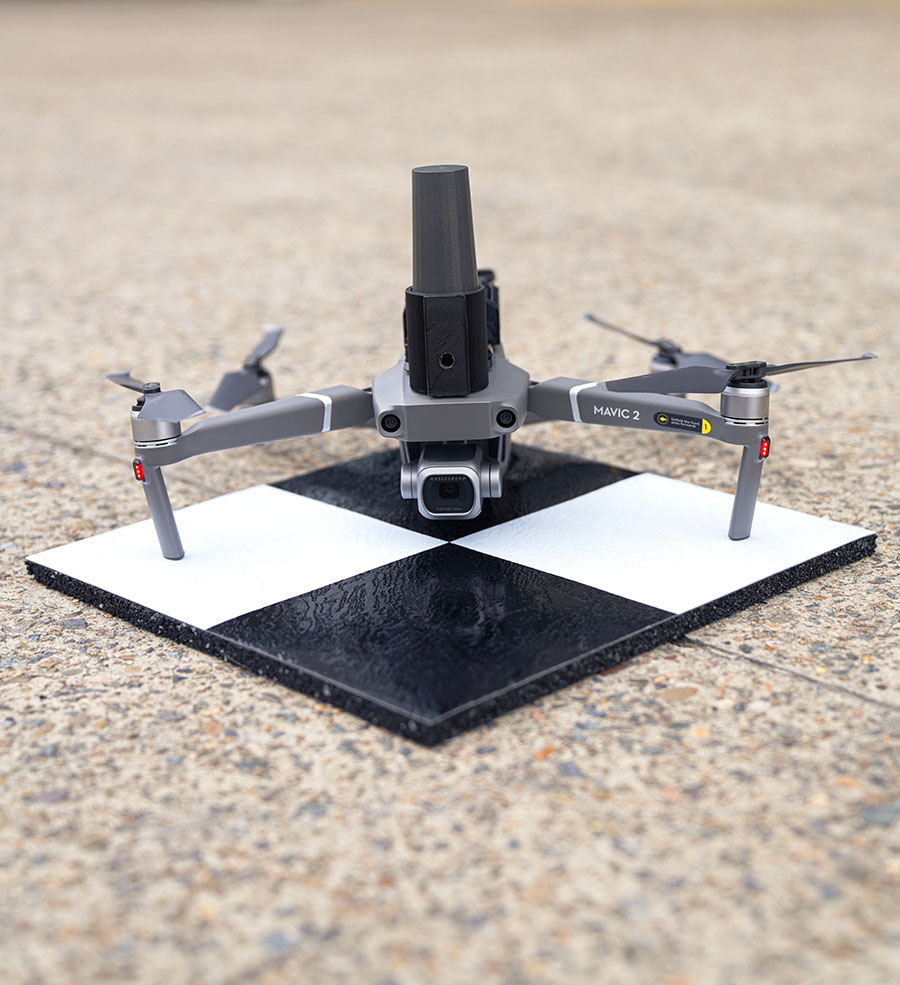
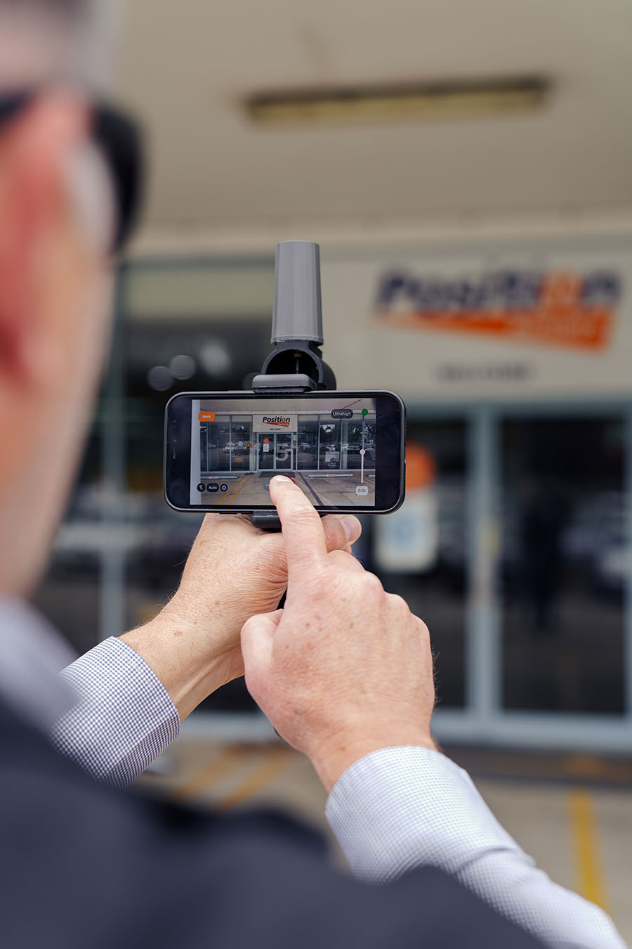
Position Partners has unveiled SmartSurveyor, which facilitates accurate, survey-grade aerial mapping and photogrammetry without the need for a connection between a camera shutter and a GNSS receiver.
The fully compact, handheld, aerial mapping survey rover is compatible with DJI Mavix 2 and 3 series and Phantom 4 Pro drones.

Image: Position Partners
The design is dissimilar to other drone mapping systems in that it works from a drone or smartphone and with two or more ground control points (GCPs) while using an ultra-matching technique.
Once data is captured by SmartSurveyor, all the photos and the GNSS file are uploaded to a PC and analyzed through the Agisoft UltraMatch workflow to confirm their accuracy before they are exported. Data can be managed in the cloud or on a local PC using software designed by MapSender.
Additionally, this mapping tool works in tandem with the AllDayRTK subscription GNSS network service so collected data can be uploaded to Tokara to remotely manage a project.

Image: Position Partners