Latest Orolia Defense & Security personal rescue beacons deliver Cospas-Sarsat second-generation signaling
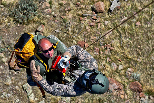
Photo: DVIDS
Orolia Defense and Security is now shipping its PRSS1b Personnel Recovery Devices to the U.S. Army. The beacon uses a commercial GNSS chipset that can be replaced by SASSM or M-Code-capable receivers depending on customer needs.
Orolia’s PRSS1b PRD provides second-generation Cospas-Sarsat signaling that delivers faster and greater location accuracy than previously fielded tactical location devices.
Photo: Orolia
Cospas-Sarsat is an international, humanitarian search-and-rescue system that uses space-based technology to detect and locate model 406 emergency beacons carried by ships, aircraft or individuals venturing into remote areas, often inaccessible by mobile phone. The system consists of a network of satellites, ground stations, mission control centers (MCCs) and rescue coordination centers (RCCs) that work together when a 406 beacon is activated.
Through collaboration with the Army, Orolia produced a robust, user-friendly and highly reliable device to locate personnel who become isolated, missing, detained or captured.
Orolia conducted a demonstration in October simultaneously on multiple continents, showing its technology working with the worldwide coverage provided by the Cospas-Sarsat infrastructure. The demonstration yielded beneficial data to support the qualification of Orolia’s Personnel Recovery Device and helped inform government stakeholders on the readiness of the second-generation ground and satellite infrastructure.
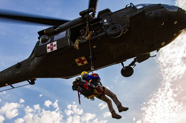
A U.S. Army HH-60 Black Hawk helicopter lowers a volunteer from Central Washington Mountain Rescue via the hoist system during a training exercise.(Photo: U.S. Army)
Also in October, Orolia received Cospas-Sarsat certification for its Ultima-DT ELT emergency transmitter, designed for use on aircraft. All 406-MHz emergency beacons are digitally coded and transmit distress signals immediately upon activation on a proprietary radio wavelength.
The three main types of 406 distress beacons and the kinds of situations for which each is designed: wilderness, marine and aviation environments. (Image: Cospas-Sarsat)