“Seen & Heard” is a monthly feature of GPS World, traveling the world to capture interesting and unusual news stories involving the GNSS/PNT industry.

Image: Reviver
Digital license plates gone wrong
A security research team has gained administrative access to Reviver, the only company in California that sells digital license plates, which has allowed them to track the physical location of all of Reviver’s customers. With this vulnerability, anyone could remotely update, track and delete someone’s Reviver plate. The access also enabled the researchers to change a section of the text at the bottom of the plate, designed for personalized messages, to anything they want, according to Vice.com. California launched the option to buy a digital license plate in October 2022, and Reviver has since addressed the license plates’ security vulnerability.

Image: David Peperkamp/iStock / Getty Images Plus/ Getty Images)
Bill makes secret tracking illegal
Indiana state legislators have filed a bill that would make tracking someone with a GPS-based device without their knowledge a crime, reported WTHR of Indianapolis. The bill is in response to the growing number of criminal cases involving Apple AirTags and other GPS-based tracking devices. Tracking someone secretly is not currently a crime in Indiana; however, laws vary from state to state. Under the proposed bill, the penalty would be increased from a Class C misdemeanor to a Class A misdemeanor if the person tracked is under a protective order. The penalty could be enhanced for someone convicted of using a tracking device when committing a felony. Similar incidents are on the rise around the United States involving the use of AirTags and other tracking devices for criminal purposes.

Image: big-dan/ iStock / Getty Images Plus/ Getty Images
Cellphones cause demise
On New Year’s Day, six rockets were launched from a United States-made Himars rocket system at a vocational college in Ukraine, killing at least 89 Russian soldiers. Russia is blaming this on illegal cellphone usage by Russian soldiers, defying a ban. Ukrainian officials say 400 Russian soldiers were killed and another 300 were wounded, contradicting Russia’s report. However, this is the largest number of deaths Russia has acknowledged during the war. Russia says that the obvious cause of the attack was the use of mobile phones, as the enemy was able to locate and determine the troops’ coordinates for the strike. Two of the rockets were shot down before reaching Makiivka in the occupied Donetsk area of Ukraine.
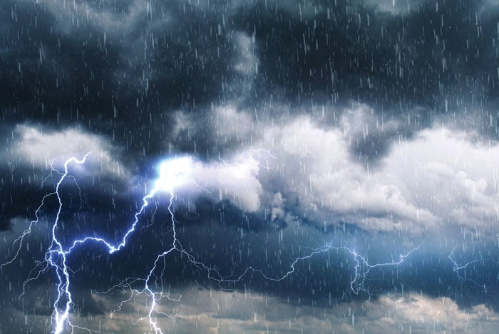
Image: Angelo F-/ iStock / Getty Images Plus/Getty Image
Can GPS forecast rain?
Researchers at the Department of Marine Geology and Geophysics at the Cochin University of Science and Technology in Kochi, India, say that heavy rainfall can be detected more than six hours in advance using GPS signals, reported The Hindu. During rainy seasons, as GPS signals pass through the atmosphere, how much they are delayed depends on the amount of water vapor present. By using continuous GPS signals and rainfall data collected in Thiruvananthapuram, the study showed that any heavy rainfall could be detected using this delay.
Gilla detta:
Gilla Laddar in …