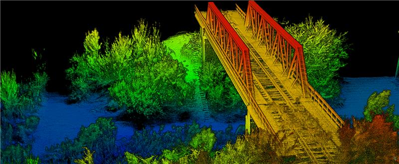
OxTS has released its Georeferencer 2.5 with the anyNAV feature and eight lidar sensors from RoboSense. Georeferencer 2.5 featuring anyNAV software is suitable for survey applications.
Users of Georeferencer 2.5 with anyNAV feature enabled can boresight payloads and georeference lidar data using the user’s navigation data. The anyNAV software enables lidar surveyors to create accurate pointclouds quickly.
Georeferencer 2.5 now takes navigation data from third-party inertial navigation systems, which enables users to use that data to georeference raw lidar data from multiple sensor families. The resulting data can then be viewed in many pointcloud viewer software packages.
