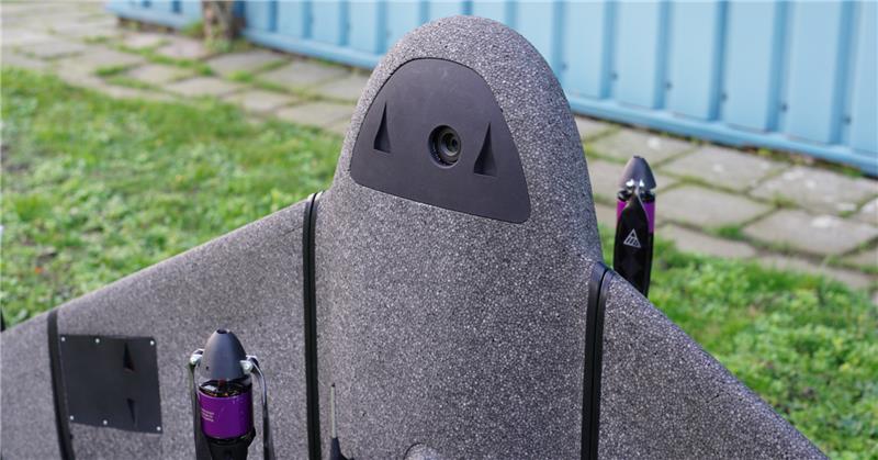
This will increase coverage and accuracy achieved in a single flight for surveyors.
Both cameras have an ISO of 32,000, which is expandable to 102,400, and camera sensors with high megapixel count — 42,4 MP for the a7R III and 61 MP for the a7R IV. When combined with Zeiss’ 35 mm and 21 mm lenses, it enables UAV surveyors to achieve ground sample distance levels below one 1 cm.
The integration of the two cameras enables Marlyn Cobalt users to map an area of 210 hectares with centimeter-level accuracy in a single flight.
